




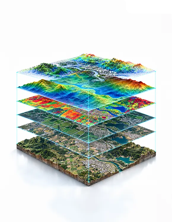
Satellite imagery, drone mapping, aerial surveys, and GIS datasets structured for agriculture, urban planning, environmental monitoring, disaster response, and defense AI.
Geospatial data collection sources location-anchored imagery, mapping datasets, and spatial context data satellite images, drone orthophotos, aerial LiDAR surveys, thermal and multispectral captures, GIS vector layers, and ground truth field data that AI models use to understand, analyze, and act on the physical landscape at scale. From detecting crop disease across thousands of hectares to mapping flood extent in real time, geospatial AI depends on high-resolution, accurately georeferenced data that matches the scale and resolution of the task.
Every Annotera geospatial collection engagement is scoped against your model’s spatial resolution requirements, annotation taxonomy, and geographic coverage before sourcing begins, so imagery and map data arrive georeferenced, cloud-cleared where applicable, and structured for detection, segmentation, change detection, or classification labeling. With 20-plus years of BPO experience and sourcing partnerships across satellite, drone, and GIS platforms, Annotera delivers annotation-ready geospatial datasets for agriculture, smart cities, energy, and defense.
Annotera’s geospatial data collection services cover every type of location-aware imagery and map data that spatial AI programs require, each sourced at the resolution, spectral band, and coverage the task demands.
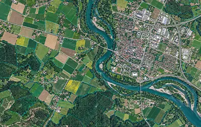
High resolution optical satellite imagery from commercial providers across defined areas for land use classification, and geospatial AI systems now.
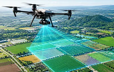
Orthophoto, 3D point cloud, and digital surface model outputs from drone survey missions at sub meter resolution for precision agriculture AI uses now.
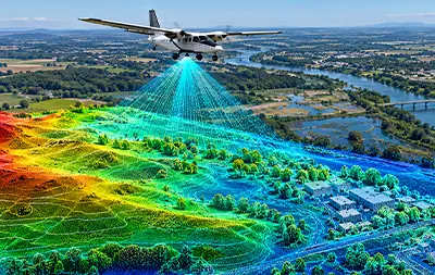
Airborne LiDAR point clouds capturing ground elevation and built environment structure for terrain modeling and flood risk mapping AI programs today.
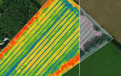
Near infrared, NDVI, SWIR, and thermal band imagery from satellite and drone platforms for crop health monitoring and wildfire risk detection modules.
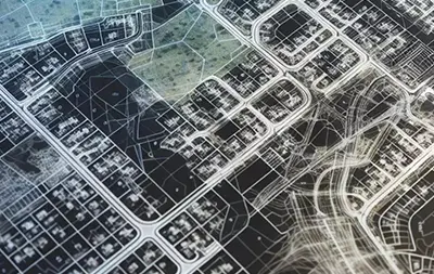
Administrative boundaries, road networks, and land parcel maps from licensed and open GIS sources for spatial AI needing structured geo data today.
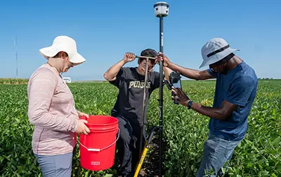
Field verified land cover labels, crop type records, and GPS tagged ground observations for validation and supervised learning in geospatial models.
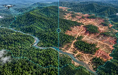
Multi date satellite and drone imagery archives over the same geographic area for deforestation monitoring and land use change detection AI program so.
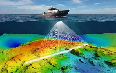
Sonar depth data, underwater terrain maps, and coastal imagery from marine survey platforms for ocean floor mapping AI and coastal erosion monitoring.


Spatial AI powers decisions at a scale that ground-level data cannot match. Annotera delivers geospatial datasets tailored to the resolution requirements, annotation taxonomy, and geographic coverage needs of each industry from single-crop field pilots to continental-scale monitoring programs.
Every Annotera geospatial data collection engagement follows a structured four-stage workflow ensuring imagery and map data arrives georeferenced, cloud-cleared where required, and organized for the spatial annotation or classification task.
We define the geographic area of interest, spatial resolution, spectral bands, revisit frequency, licensing terms, and the annotation taxonomy before any imagery is sourced.
Our specialists source imagery from satellite, drone, aerial LiDAR, and GIS partners, matching each platform to the resolution and coverage your spatial model requires.
Imagery is georeferenced, cloud-masked or atmospherically corrected where applicable, and reviewed for projection accuracy, coverage gaps, and resolution before handoff.
Geospatial data collection requires precision at the georeferencing, radiometric correction, and spatial resolution levels that other data types do not. Annotera’s features are built around these spatial and technical demands.

Imagery is sourced from satellite, drone, and aerial platforms at the resolution appropriate for the task, all under one coordinated program from a single delivery partner directly.

All imagery is delivered georeferenced to the coordinate system and projection your GIS or annotation platform requires, no manual re-projection needed before analysis precisely.

Geospatial data routes directly into Annotera's annotation team for object detection, segmentation, land cover classification, and change detection labeling, no handoff gap now.
We deliver accurate, scalable, and cost-effective geospatial data collection. Agriculture, environmental, urban, and defense AI teams trust us to source the location-aware data their models need at the right resolution and coverage.

Access to commercial satellite providers, drone survey networks, aerial LiDAR contractors, and licensed GIS sources means your program isn't limited by one provider's coverage so.

Cost-effective geospatial sourcing maintains spatial quality and coverage, so teams build robust programs without overextending commercial satellite budgets every single time.

ISO 27001-aligned and SOC-compliant processes protect geospatial data including licensed imagery and proprietary survey outputs at every stage from acquisition to delivery soon.

Every geospatial dataset is reviewed for georeferencing accuracy, coverage completeness, and cloud coverage before handoff, guaranteeing usable spatial data without exception.

350-plus trained specialists covering satellite sourcing, drone survey coordination, GIS processing, and spatial annotation deliver a complete AI data program under one partner.

Here are answers to common questions about geospatial data collection, imagery types, resolution, compliance, and how location-aware datasets fit into spatial AI training programs.
Geospatial data collection is the process of sourcing location-anchored imagery and map data satellite images, drone orthophotos, aerial LiDAR surveys, thermal and multispectral captures, and GIS vector datasets that AI models use to analyze the physical landscape. It provides spatial context and coverage scale that ground-level cameras cannot capture, and is the primary input for agriculture, urban planning, environmental, disaster response, and defense AI.
Satellite imagery covers large geographic areas at moderate resolution, suited to continental-scale land use classification, deforestation monitoring, and urban growth detection. Drone imagery covers smaller areas at very high resolution (centimeter-level), suited to crop disease detection, infrastructure inspection, and site mapping. Many geospatial AI programs use both: satellites for broad coverage and drones for high-resolution validation.
Resolution is matched to the use case. Commercial satellite imagery ranges from sub-meter to multi-meter resolution. Drone orthophotos commonly deliver 2–10 cm ground sampling distance. Aerial LiDAR surveys provide point cloud density matched to the terrain complexity and classification task. Resolution, coverage, and revisit rate are defined in the collection brief before sourcing begins.
Yes. User-defined areas of interest are specified during the collection brief, and imagery is sourced from the satellite or drone platform best suited to the resolution and coverage requirements. For programs requiring direct drone surveys over inaccessible or high-priority areas, Annotera coordinates missions through its drone survey network.
Cloud masking is applied to optical satellite imagery before delivery, identifying and flagging cloud-covered pixels so they are not included in training data. For programs requiring consistently clear imagery, Annotera’s sourcing strategy includes time-series scheduling and multi-provider sourcing to maximize cloud-free coverage over the target area.
Yes. Imagery and map data are georeferenced, processed, and organized for the annotation task, then routed directly into Annotera’s annotation team for object detection, semantic segmentation, land cover classification, or change detection labeling. One partner handle both collection and annotation with no handoff gap.
Geospatial data is delivered in the format your GIS or annotation platform requires GeoTIFF for raster imagery, SHP or GeoJSON for vector data, KML for visualization, LAS/LAZ for LiDAR point clouds, and platform-specific formats where your pipeline is known. Coordinate reference system and projection are standardized to your specification during the collection brief.