Camera, LiDAR and radar data labeled for perception, prediction and driver monitoring by teams trained on driving scenes. Start with a free 48-hour pilot on your own drives.
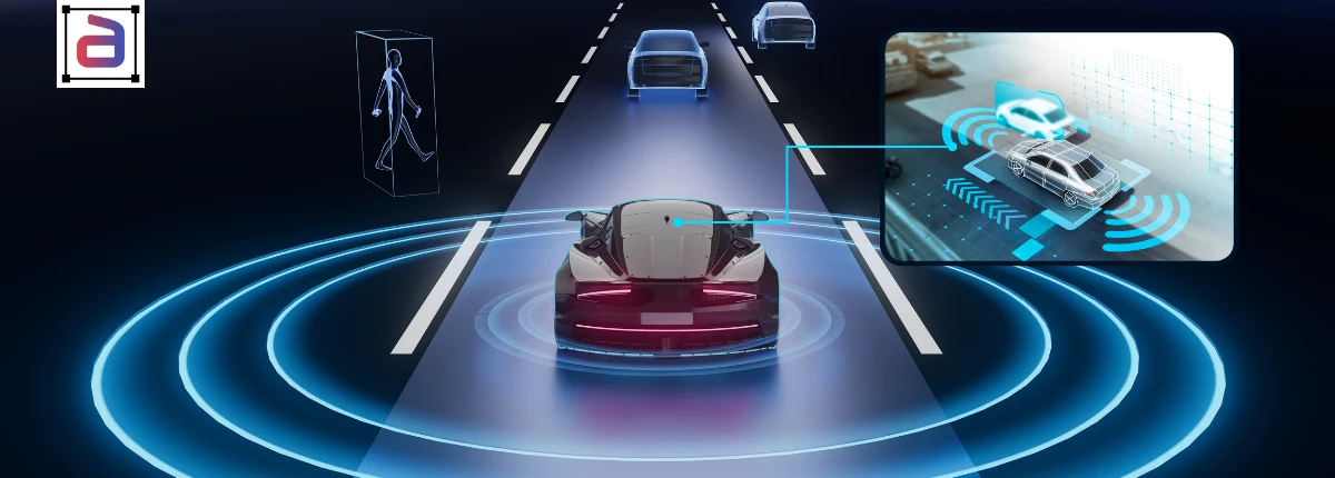
Autonomous vehicles learn to perceive the road from millions of labeled frames and point clouds. Annotera’s autonomous vehicle annotation turns raw drive data into consistent training data: vehicles, pedestrians, cyclists, lanes, signs and free space labeled in 2D and 3D, tracked across frames and aligned between camera, LiDAR and radar. Annotators are trained on driving scenes, edge cases and your labeling specification, and every batch is scored against a gold set.
Our data annotation for autonomous vehicles supports ADAS features, self-driving stacks, autonomous delivery robots and mapping programs. Work spans LiDAR annotation, video annotation with object tracking and image annotation for camera perception, with one QA framework across all three.
Each use case has its own edge cases. Our guidelines cover them explicitly, from partly hidden pedestrians to faded lane markings and glare. For lane-level map layers, see our HD map annotation service.

Lane lines, road edges and drivable paths traced as polylines, including faded and occluded markings.

Signs and signals boxed and classified by type and state, across countries, weather and lighting.

People, cyclists and other vulnerable road users labeled with pose and occlusion attributes.

Surrounding vehicles tracked with persistent IDs across frames for motion prediction models.

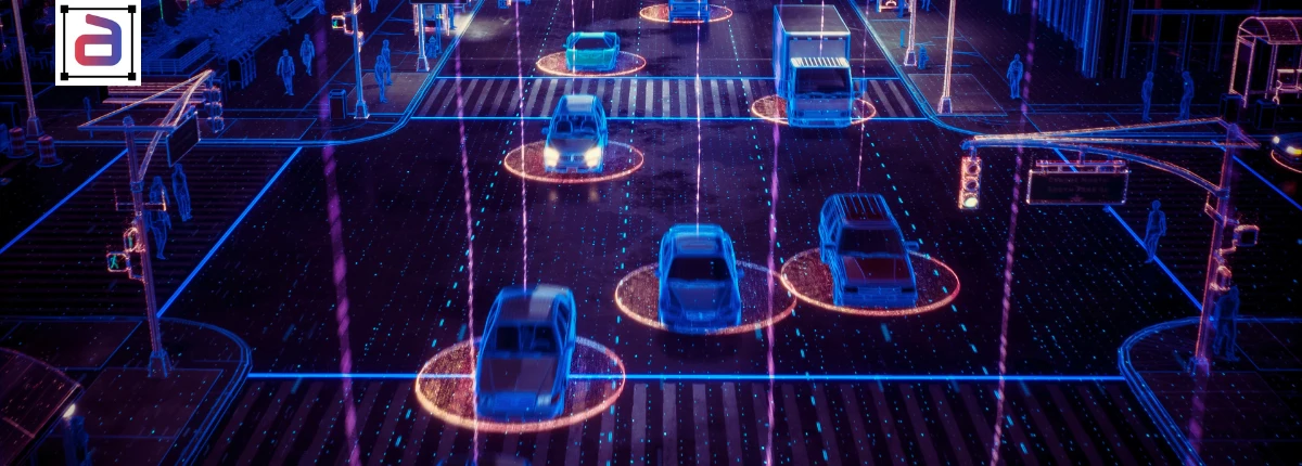
3D cuboids and point-level segmentation on LiDAR sweeps, aligned with camera labels.

Debris, cones, barriers and unusual objects labeled so models handle the long tail of road hazards.

Night, rain, fog and glare scenes labeled with the same rules as daylight data for all-weather models.

In-cabin video labeled for gaze, distraction, drowsiness and hand position for driver monitoring systems.
Perception data has to be consistent across millions of frames and every sensor. These are the commitments behind every Annotera autonomous driving program. Teams that want a fully managed operation can use our data annotation outsourcing services.

Annotators trained on road scenes, traffic rules and edge cases across regions, so labels reflect how roads really look.

Labels and object IDs aligned across camera, LiDAR and radar, using calibration-aware 3D tools.

Annotator self-review, team-lead checks and independent QA, with 3D IoU, tracking and per-class accuracy reported.

Operations certified to ISO/IEC 27001:2022, SOC 2 Type II, HITRUST CSF and PCI DSS 4.0.1, with redaction available.

Written rules for occlusion, truncation, reflections and rare objects keep the long tail consistent.

Teams scale with your drive volume, drawing on Fusion CX’s 17,000 people across 40 delivery centers in 13 countries.
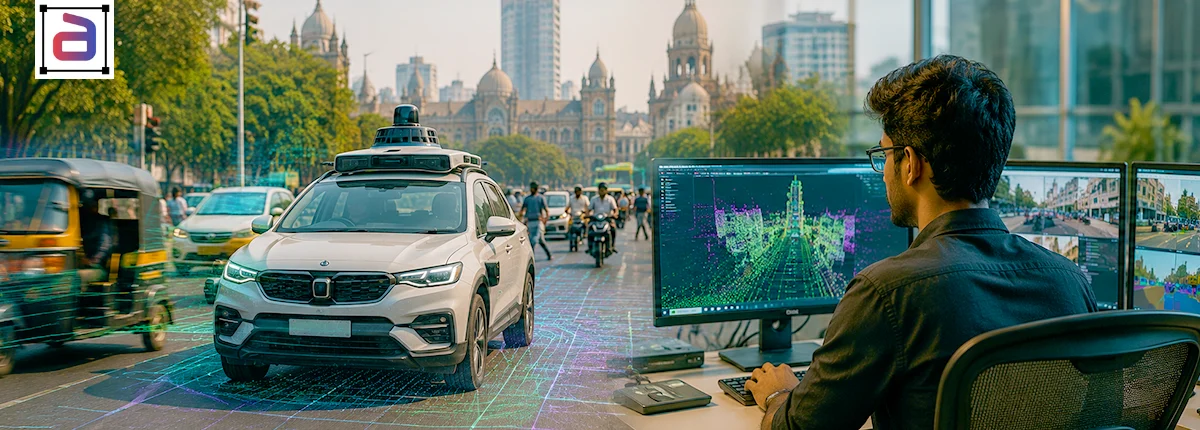
Human-in-the-loop operations running today for autonomous delivery.
Autonomous delivery fleet
A Watcher and Resolver workforce supported a global ride-sharing leader’s autonomous delivery operations: 656,000+ sessions, zero accidents and 3x capacity growth in under six months.
Answers on sensors, edge cases, quality, pricing, security and getting started.
Autonomous vehicle annotation labels camera images, video, LiDAR point clouds and radar data from drives so perception and prediction models learn to recognize vehicles, people, lanes, signs and hazards. Annotera supplies trained annotators, labeling specifications, QA and reporting.
Camera images and video, LiDAR point clouds, radar returns and fused multi-sensor data, plus in-cabin video for driver monitoring. Labels are delivered in the formats your perception pipeline expects.
Edge cases are written into the guidelines with examples: occlusion, truncation, reflections, unusual vehicles, construction zones and bad weather. Ambiguous cases are escalated, resolved once and added to the rules so every annotator treats them the same way.
Against a gold set reviewed by senior annotators, using 2D and 3D IoU, per-class accuracy, ID switches and track continuity, and lane geometry checks, with tighter thresholds on safety-critical classes.
Yes. Lane boundaries, road edges, crosswalks and traffic elements can be labeled for mapping programs, with the scope and conventions agreed for each project.
Pricing depends on sensors, objects per frame, frame rate, the attributes required and quality targets. Programs are usually priced per frame, per object or per dedicated annotator. A pilot on your own drives gives an accurate quote.
Work runs inside Fusion CX operations certified to ISO/IEC 27001:2022, SOC 2 Type II, HITRUST CSF and PCI DSS 4.0.1, with role-based access. Faces and license plates can be redacted before annotation where required.
A pilot on a sample of your drives is usually delivered within 48 hours of receiving the data and specification. Production ramp time depends on sensors, volume and complexity.