Labeled Earth Observation Data for Geospatial AI

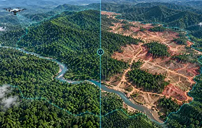
Satellite, aerial and drone imagery labeled for buildings, roads, land cover and change, by teams already running large-scale wildfire monitoring. Start with a free 48-hour pilot.

Geospatial Annotation Services

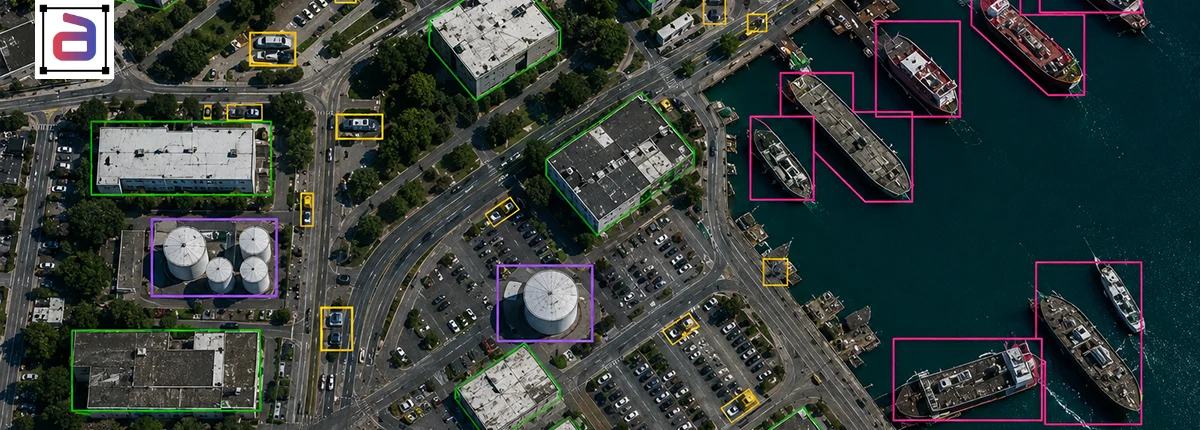
Geospatial AI learns from imagery where a single tile can hold thousands of small objects, seen from above at different resolutions, seasons and sun angles. Annotera’s geospatial annotation services turn satellite, aerial and drone imagery into training data for detection, segmentation and change detection models, with annotators trained on your class definitions and three-layer QA on every batch.

Our teams already support large-scale environmental monitoring. For a wildfire monitoring program, we stood up a team of 100+ people that went live on April 10, 2025 and met every KPI by week four. Our geospatial data labeling covers building footprints, roads, land cover, vegetation, infrastructure and disaster damage. If you need imagery sourced too, see our geospatial data collection service.

ServicesGeospatial Data Labeling We Deliver

Every project follows a written class specification covering object definitions, minimum sizes, edge rules and attributes.

Satellite Imagery

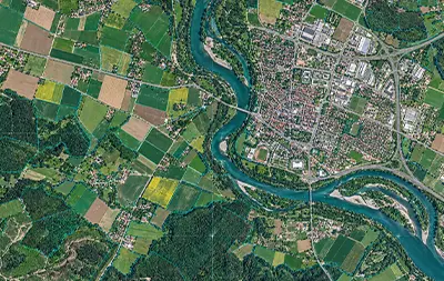
Objects, land use and features labeled on optical and multispectral satellite tiles.

Aerial and Drone

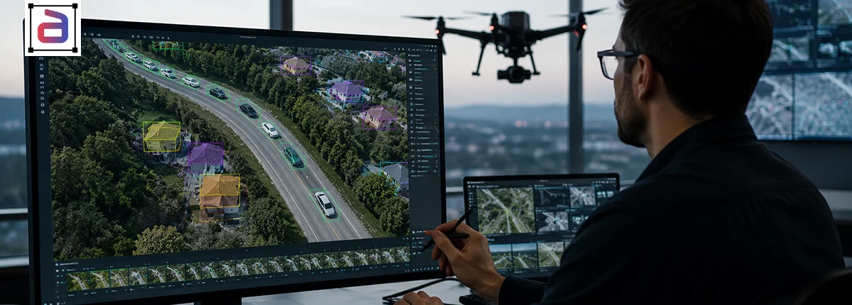
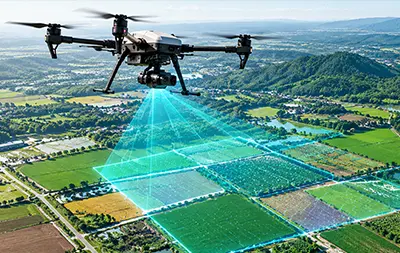
High-resolution aerial and UAV imagery labeled for inspection, mapping and surveying.

Building Footprints

Building outlines traced as polygons, with attributes such as roof type and damage.

Roads and Networks

Roads, railways, power lines and pipelines traced as polylines with connectivity.

Land Cover

Pixel-level segmentation of vegetation, water, crops, soil and built-up areas.

Change Detection

Before-and-after tiles compared to label new construction, loss and damage.

Wildfire and Disaster

Smoke, fire, burn scars and flood extent labeled for monitoring and response.

Aerial LiDAR

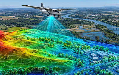
Airborne LiDAR point clouds classified into ground, buildings and vegetation.

WritersWho Labels Your Geospatial Data

Overhead imagery needs people trained to read it. Each program is staffed to match the imagery and the classes.

Trained Annotators

Annotators trained to read overhead imagery and your class definitions before production.

Domain Leads

Team leads who know the use case, from land cover to disaster response, own the guidelines and edge cases.

QA Specialists

Independent QA scores every batch against a gold set and reports per-class accuracy and agreement.

ProcessHow a Geospatial Project Works

A structured start makes sure labels match your class definitions before volume arrives.

1. Agree the Specification

We turn your classes into written rules with worked examples and a gold set of tiles.

2. Pilot and Calibrate

Annotators label a pilot set, usually within 48 hours, which your team reviews before the rules are final.

3. Produce, Review, Scale

Batches ship with QA scores and issue logs, and the team grows with your coverage.

Why AnnoteraWhy Teams Choose Annotera for Geospatial Annotation

Teams use Annotera when they need geospatial annotation that stays consistent at scale, from a partner that already runs large environmental monitoring programs.

Proven at Scale

A 100+ person wildfire monitoring team went live in 2025 and met every KPI by week four.

Measured Quality

Three-layer QA scored against a gold set, with per-class accuracy and agreement reports.

Your Format

Labels delivered in the schema and formats your geospatial pipeline expects.

Certified Security

ISO/IEC 27001:2022 and SOC 2 Type II certified operations, with annotator NDAs.

Free 48-Hour Pilot

Test us on your own tiles, scored against your acceptance criteria.

Elastic Capacity

Teams scale with your coverage, drawing on Fusion CX’s 17,000 people across 40 delivery centers in 13 countries.

Connect with an Expert

    FAQQuestions About Geospatial Annotation

    Answers on imagery, use cases, quality and getting started.

    Geospatial annotation services label satellite, aerial and drone imagery so AI models can detect objects, segment land cover and spot change. Typical work includes building footprints, roads and networks, vegetation and water, infrastructure and disaster damage.

    It trains models for mapping, urban planning, agriculture, insurance, infrastructure inspection, and environmental and disaster monitoring. Data annotation for geospatial technology turns raw imagery into the examples these models learn from.

    Objects are small, dense and seen from above, resolution varies between sensors, and the same place looks different across seasons and sun angles. Clear rules for minimum object size, edges and occlusion matter more, and tiles are large, so consistency at scale is the main challenge.

    Yes. For a wildfire monitoring program, Annotera stood up a team of 100+ people that went live on April 10, 2025, met every KPI by week four and reached 100% certification. Our case study has the details.

    Polygons for buildings and land parcels, bounding boxes for vehicles and assets, polylines for roads and power lines, pixel-level segmentation for land cover, change labels across image pairs, and point classification for aerial LiDAR.

    Yes. Our geospatial data collection service sources satellite, aerial and drone imagery to your specification, ready for annotation in the same pipeline.

    Work runs in ISO/IEC 27001:2022 and SOC 2 Type II certified operations, with role-based access, annotator NDAs and secure environments. Your imagery is never reused for other clients.

    A pilot set is usually delivered within 48 hours of agreeing the class specification. Production ramp time depends on imagery, classes and coverage and is agreed during the pilot.

    Get A Quote