
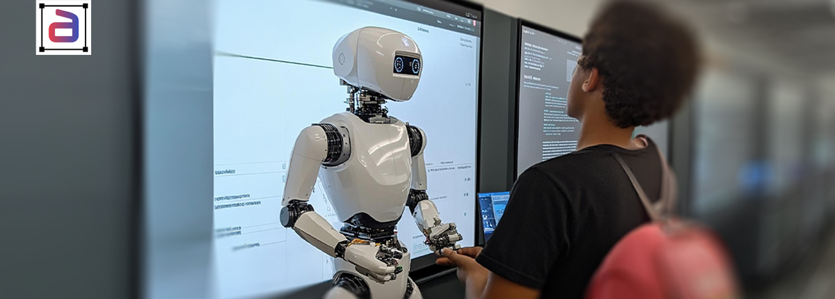
3D annotation for robotic navigation teaches AI models what the physical world looks like in three dimensions — and it is the foundational requirement for deploying navigation-capable robots in real-world environments. As autonomous systems move from controlled pilots into live warehouses, hospital corridors, and factory floors, the quality of their spatial understanding comes directly from the quality of the annotated data they were trained on. This post covers what that annotation actually involves, why it is harder than it looks. For robotics teams applying human feedback to robot behavior, robot policy RLHF annotation covers that workflow. And what separates datasets that produce reliable navigation from datasets that produce robots that fail in the field.
Key Points
- 3D annotation for robotic navigation must capture object geometry at the resolution of the robot’s physical clearance constraints: a box annotated 10 cm too wide blocks a navigation path that is actually passable.
- Robotic navigation annotation must cover dynamic environments where human workers, forklifts, and conveyor systems create moving obstacles that change the traversability of the annotated space between frames.
- Annotation for indoor robotic navigation must include free-space labels alongside obstacle labels because path planning algorithms need to know where the robot can go, not just where it cannot.
- 3D annotation accuracy requirements for robotic grasping are tighter than for navigation: picking tasks require centimetre-level object pose accuracy, while navigation tolerates errors measured in tens of centimetres.
In This Article
What 3D Annotation Actually Means for Robotic Systems
When most people think about annotation, they picture drawing boxes around objects in images. That is 2D bounding box annotation — useful for classification and detection tasks, but insufficient for robotic navigation. A robot does not navigate in two dimensions. It moves through physical space where height, depth, and distance all matter. A 2D box can tell a vision model that a pallet is present. A 3D cuboid annotation tells it the pallet’s exact dimensions, orientation, and distance from the robot’s current position — information the navigation system needs to decide whether it can pass on the left, needs to reverse, or should request human intervention.
3D annotation for robotic navigation covers several distinct data types. LiDAR point clouds require annotators to assign semantic meaning to millions of data points in 3D space — this cluster is a wall, this one is a person walking, this one is a forklift moving at 6 km/h. Depth-camera frames combine object identification with spatial localization, teaching the model not just what an object is but how far away it is and what volume it occupies. For most production programs, multi-sensor fusion annotation aligns labels across LiDAR, RGB, and depth data simultaneously, ensuring the navigation model receives coherent spatial information from each input rather than conflicting signals.
The Annotation Tasks That Matter Most
Free-Space Labeling
This is the annotation task that navigation systems cannot do without, and it is underrepresented in most discussions of robotic annotation. Object detection tells a model where obstacles are. Free-space labeling tells it where the robot can actually go. Path planning algorithms need both. Annotating only obstacles leaves the navigation model without a positive map of traversable ground — it has to infer passable space by exclusion, which produces errors in cluttered environments where the space between objects is narrow or irregular.
Free-space annotation defines the driveable or walkable area of each frame as a labeled region, typically using semantic segmentation that classifies every pixel as traversable or non-traversable. In outdoor environments, this means distinguishing path from lawn, curb, or gravel. In indoor environments, it means marking clear floor space separately from under-rack areas, loading zones, and pedestrian walkways.
3D Cuboid Annotation on Moving Objects
Static obstacle annotation is the easier half of the problem. The harder half is annotating objects that move — and annotating them across time. A pedestrian walking through a warehouse does not occupy a fixed position. A forklift reversing around a corner changes its heading, velocity, and the space it will occupy in the next two seconds. Navigation models trained only on static scenes will fail when dynamic obstacles behave unexpectedly, which in real environments is constantly.
3D cuboid annotation on moving objects requires frame-by-frame labeling that captures not just position but trajectory. Annotators track each object across a sequence of frames, maintaining consistent object IDs and adjusting cuboid dimensions and orientation as the object rotates or changes speed. This is closely related to the work involved in egocentric video annotation, where the robot’s own movement through space creates additional labeling complexity as the sensor perspective shifts continuously.
Clearance-Aware Bounding
One annotation error that consistently causes navigation failures in deployment is incorrect cuboid sizing. A box annotated 15 centimeters too wide tells the model a path is impassable when it is actually navigable. A box annotated 10 centimeters too narrow creates a false sense of clearance that causes the robot to attempt a maneuver it cannot complete safely. Robotic navigation annotation must be calibrated to the physical clearance constraints of the specific robot being trained — a narrow-body AGV has different tolerances than a wide-platform mobile manipulator. Annotation guidelines need to encode those tolerances explicitly, and QA processes need to flag boxes that fall outside acceptable sizing margins for the platform in question.
Why Factory and Warehouse Environments Are Particularly Hard to Annotate
The environments where most commercial robotic navigation systems currently operate — distribution centers, manufacturing floors, hospital corridors — share characteristics that make annotation significantly harder than outdoor or consumer settings.
Visual repetition. Warehouse shelving, rack systems, and pallet stacks create environments where most frames look similar. Annotators working at volume can develop systematic errors that get baked into the training set — consistent sizing mistakes on a specific object type, or free-space boundaries drawn at the same incorrect position across hundreds of similar frames. Occlusion is equally demanding: in dense storage environments, objects partially obscure other objects constantly, and annotators must reason about occluded geometry rather than simply tracing visible edges. Lighting variation changes sensor output quality significantly between the loading dock, the main floor, and narrow aisles with inconsistent overhead coverage. And human workers as dynamic obstacles — crouching, reaching overhead, moving quickly in forklift traffic patterns — present annotation challenges that require domain familiarity, not just labeling speed.
The Relationship Between Annotation Quality and Navigation Reliability
There is a direct and measurable relationship between annotation accuracy and navigation system performance. Systems trained on data with loose geometric tolerances produce navigation paths with unnecessary avoidance margins, degrading throughput because the robot takes longer routes than necessary. Systems trained on data that underrepresents dynamic obstacles handle unexpected human movement poorly — near-miss incidents in warehouse deployments are frequently traceable to gaps in training data coverage of atypical human positions or rapid directional changes.
This is why annotation for robotic navigation is not a one-time data collection exercise. As teleoperation data annotation generates new human demonstration footage and real-world deployments surface edge cases the original training set did not cover, annotation programs need to run continuously — feeding new labeled data into retraining cycles that incrementally improve the navigation model’s reliability. The long-term trajectory, when annotation and retraining are handled well, is a system that requires fewer human interventions over time as its world model becomes more complete. For more on how this connects to the broader challenge of building robust world representations for autonomous systems, see our work on world model data curation.
What Annotation Teams Need to Get Right
Domain-specific annotator training. General-purpose annotation teams can label consumer images reliably. Robotic navigation data requires annotators who understand the physical constraints of the system being trained, the sensor characteristics of the data being labeled, and the specific failure modes they need to help the model avoid.
Tight geometric guidelines. Vague instructions produce variable output. Navigation annotation programs need explicit guidelines for cuboid sizing tolerances, free-space boundary rules, and how to handle specific edge cases — partially visible objects, reflective surfaces that confuse depth sensors, people wearing high-visibility equipment that creates unusual sensor returns.
Multi-layer QA. Navigation safety depends on annotation consistency across the full dataset. A single systematic error repeated across thousands of frames is more damaging than isolated mistakes. QA processes need to look for batch-level patterns, not just frame-level errors. Continuous iteration is equally important: programs that front-load annotation and then treat the dataset as complete tend to encounter the same edge-case failures repeatedly in the field.
Related Reading
- 3D Cuboid Annotation Services and Depth Perception — how 3D cuboids give AI systems spatial awareness beyond flat detection
- Video Cuboid Annotation for 3D Scene Understanding in Robotics — extending 3D annotation across time for dynamic scene understanding
- Image Cuboid Annotation for Autonomous Systems — the image-level annotation techniques that feed autonomous navigation stacks
- World Model Data Curation for Next-Generation AI Agents — how labeled navigation data contributes to the broader world model problem
Accurate robotic navigation starts with accurate annotation. Alongside navigation, sim-to-real validation annotation ensures that training in simulation transfers reliably to real-world deployment. For the full AV annotation stack, see how meticulously annotated data powers autonomous driving systems. Speak with Annotera’s robotics annotation team about building or scaling the training data your navigation program needs.